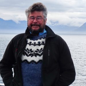
Andreas Sommer is RISER AMBASSADOR and shares his motorcycle experiences with you on the RISER Journal. Follow him on the RISER App, check out his routes and stay up to date on his latest tips!
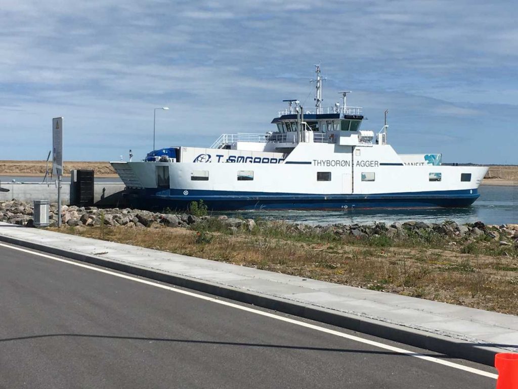
This year, one of my wishes comes true. I will fulfill one entry of my bucket list: I visit Iceland with my motorcycle. I already booked the ferry last year in December: From Hirtshals in Jutland, Denmark, my trip starts on the 1st of June.
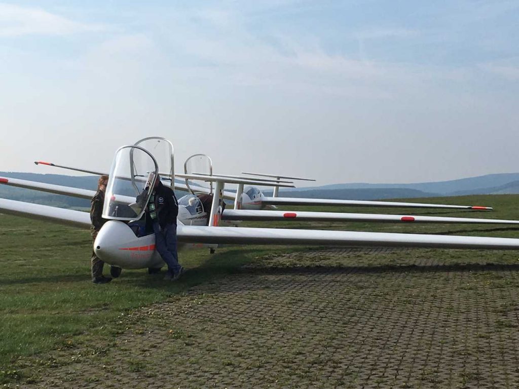
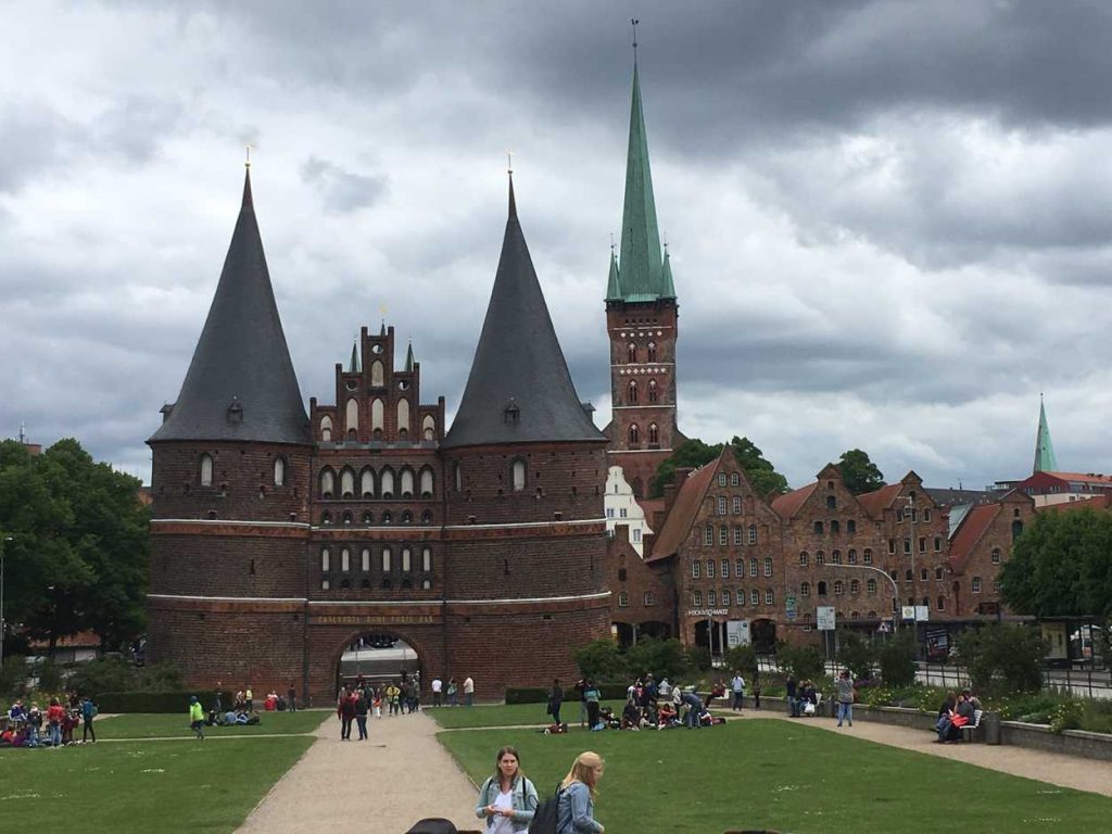
On the way there I cross all of Germany and get to know the low mountain ranges of the Black Forest, the Rhön and the Thuringian Forest. Near Leipzig, I registered for an offroad training with the guys of Enduro Action Team Meltewitz. Better be prepared for such a trip ?. At the end of the trip I reach the Mecklenburg Lake District and finally the landscape between the North Sea and the Baltic Sea.
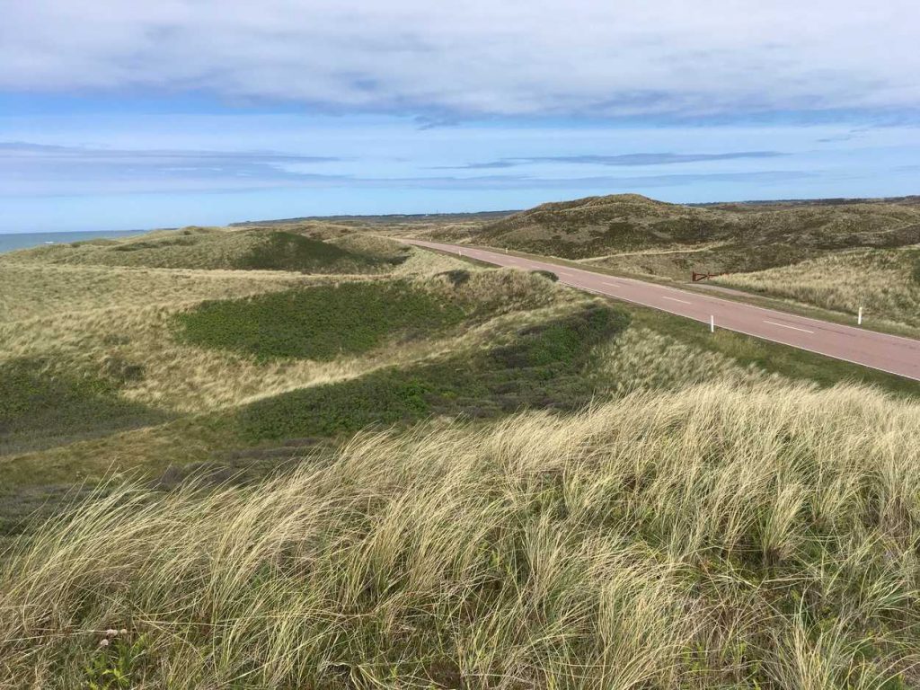
I follow the east coast of Jutland to the port of Hirtshals. The loading on the ferry starts at 16 o’clock and after all cars, trucks and motorcycles are loaded, the ferry leaves. After three nights on the ship and a 5-hour stop in Torshävn on the Faroe Islands, we reach Sedysfördur on the morning of the fourth day. The small village lies at the end of a fjord on the west coast of Iceland.
4th of June Seydisfjördur – Höfn
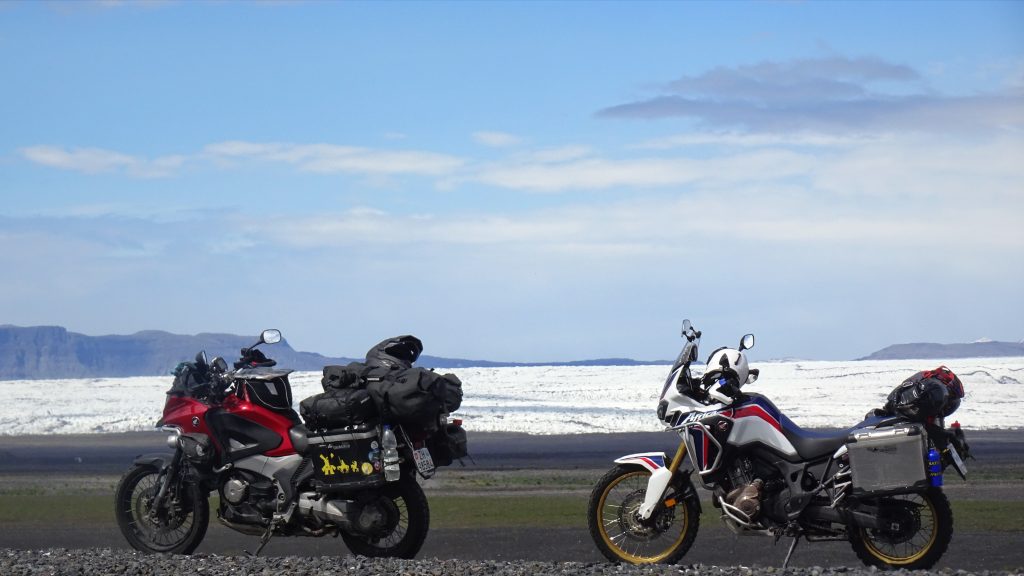
At the fjord the clouds are low and the mountains are white. That’s a good start! After I prepared my bike, stowed everything away and mounted the rain cover, I set off. There, the first waterfall, the first photo… Now it is going up. The first pass is only 600 m high but it has it in itself! The wind is strong and blows the snow across in front of the bike. There is still hardly any snow on the road. But this will change: with every vertical meter, there is more of the white stuff in front of me. There are the first little snowdrifts. From time to time the whole road is white. I hardly see anything, the snow sticks on the windshields, so I open my visor. Now the wind brings my eyes to tears. It is cold and cars coming from behind are overtaking me. Finally, the descent to Egilstadir begins. With every turn, the conditions are getting a bit better. In the village, I take a break to warm a little bit up.
I made the first 20 kilometres. I never dreamed of experiencing a snow storm in Iceland. Now it can only get better.
At the next photo stop Dirk brakes behind me with his Africa Twin. He is also marked by the bad weather. We decide to drive together from this point on. Our way leads us along the coast to Höfn. Little by little the weather improves and it gets brighter. The rain eases but the strong and annoying wind continues to haunt us. We pitch our tents and hike through the village in search of a restaurant.
5th of June Höfn – Hvolsvöllur
It stays bright all night. After a small breakfast, we drive along the south coast. We stay on the asphalted ring road. After a few
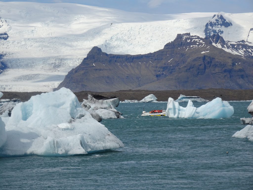
We leave this overcrowded place and reach after a few meters a fork, which leads us to another glacier lake. There are considerably fewer tourists here. In this peace and quiet place, the beauty of the landscape is breathtaking.
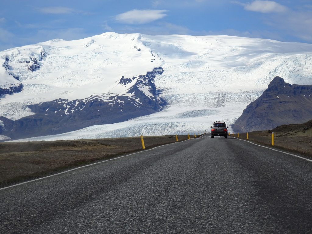
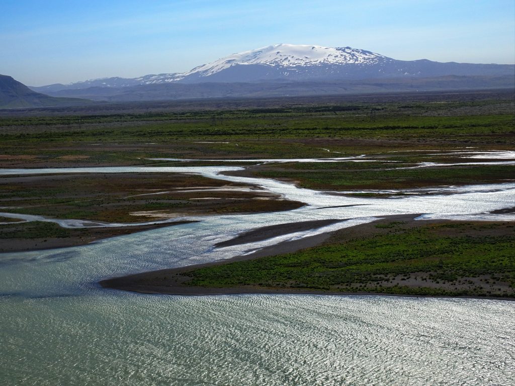
We return to the ring road and follow it west. Countless wide meandering rivers flowing down from the mighty Vätnajökull shape the landscape. The wide gravel beds made the landscape almost impassable in the past. Since 1974, when the ring road and its bridges were built, it is possible to drive through this landscape without great effort. Occasionally volcanoes under the glacier create gigantic streams that destroy the bridges. After almost 100 kilometers we leave the flat landscape of Skeidararsandur which stretches between the sea and the glaciers.
In Vik we go to the beach. The black beach stretches from Mount Reynisfjell to the horizon. Impressive are the famous rock needles of Reynisdrangar. The legend tells that these rocks are actually trolls. They towed a three-master ashore, but took too much time to reach the shore and became stone at sunrise.
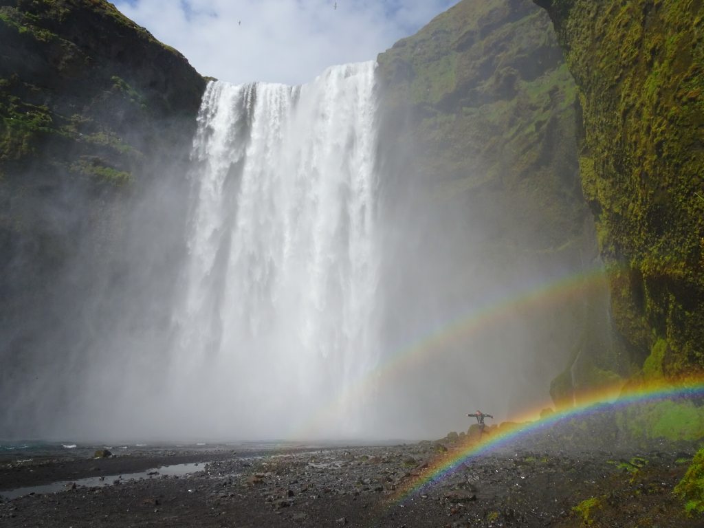
Our next trip leads us to the waterfall Skogafoss. Not far from the coast road the river falls on a width of 25 meters, 60 meters into the valley. Why does a stupid tourist have to make his V-sign and grin into a camera in front of each of these highlights? We leave it at that and follow the hiking path high above the edge of the cascade. From here we have a wide view over the surrounding landscape.
In Hvölsvollur we find the camping site not far from the petrol station. After setting up our tents we enjoy “Fish & Chips” in the nearby snack bar. We come back at the same time as the cashier of the campsite. We pay the fee for the night with our credit cards and head to our tents.
6th of June Hvölsvollur – Thingvillir Nationalpark
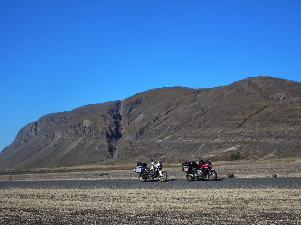
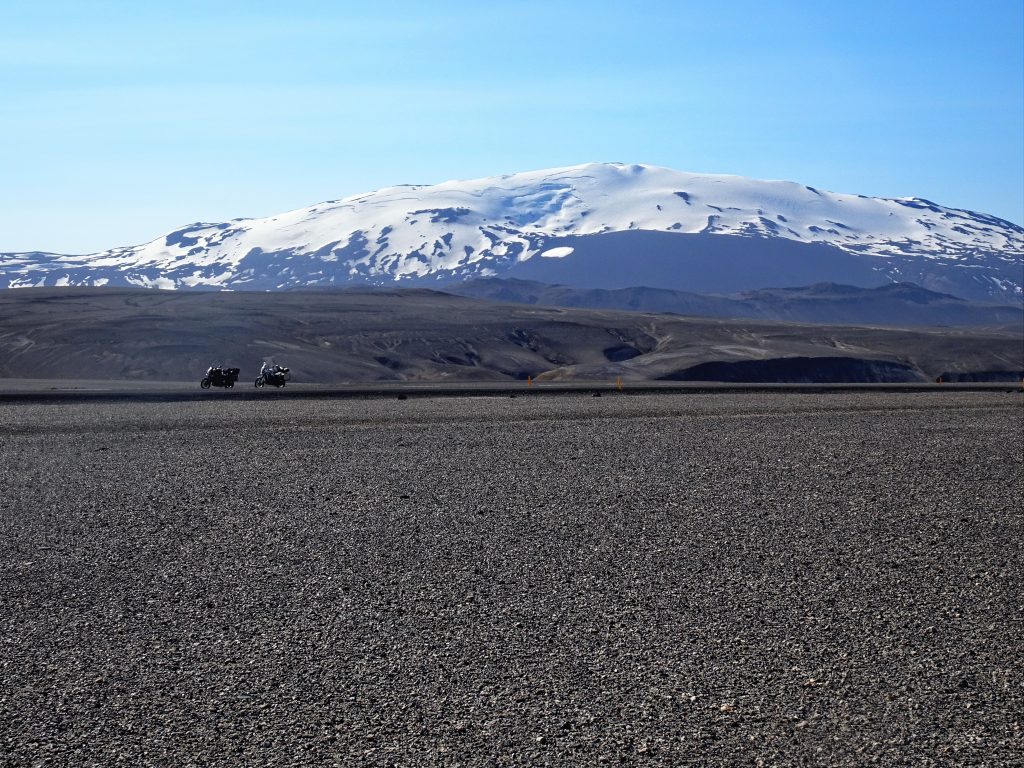
Today we risk it! We saddle our motorcycles early in the morning. We have already refuelled on our arrival and now we drive off. After a few kilometres we turn for the first time onto third-class roads. In the distance the snow cap of the volcano Hekla shines. The roads are still tarred. The narrow country roads are followed by streams, rivers and fields.
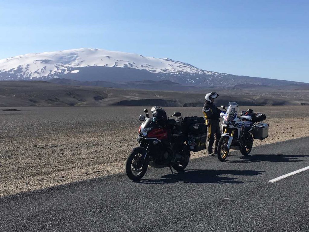
Sheep or Icelandic ponies graze in the meadows. The harvested grass still lies on the fields as large silo bales. From time to time there are branch paths to the farmsteads. The closer we get to the volcano, the more lonely the area becomes. Then we leave the green meadows behind and come to gravel and lava fields. A desert lies at the foot of the Hekla. The road is still asphalted, but then a sign “Gravel road ahead” warns us. The following twenty kilometers we cover on natural roads. Most of the time we can follow the tracks of the cars but more and more often there are rough stones in the way which force us to the edge of the road. We get more and more adventurous and soon we are driving through the dusty landscape with a speed of 50km/h. Nevertheless, we are happy when we land again on a tarred road after a tight bend.
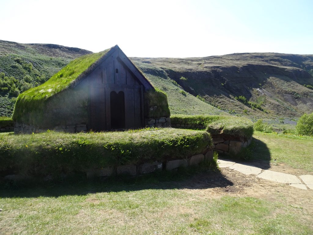
Passing a hydropower factory with a reservoir we reach the descent into the valley. We stop at one of the serpentines, admire the fields with the lupines and the view. In the valley, we spot a farm with a grass roof. We decide to have a closer look at this one. It turns out that it is a small museum; the replica of a farm from the year 1000. When we want to pay the entrance fee, the credit card terminal displays an error. But the staff is so nice and let us into the house and the exhibition for free.
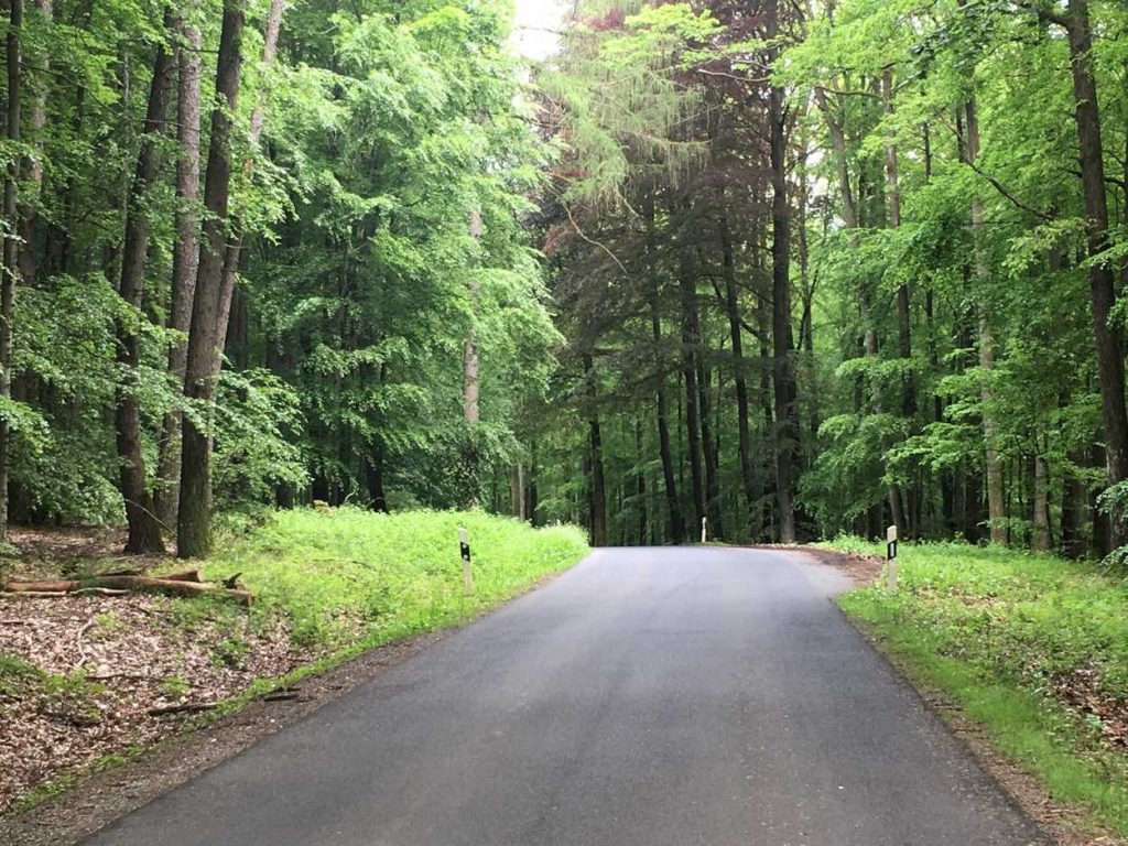
Through a wide valley we reach a forest – the Icelandic Forest! – and follow the river. An ordinary signpost sends us to a parking lot at the foot of a hill. We climb it and are rewarded with a fantastic view over the wide river Thjorsa.
We put the destination “Gullfoss” into our Navis and follow our route there. Again we cross rural areas with many farms, fields
The waterfall plunges in two steps into a narrow valley and disappears into it. The visitors are driven in buses to the fall and
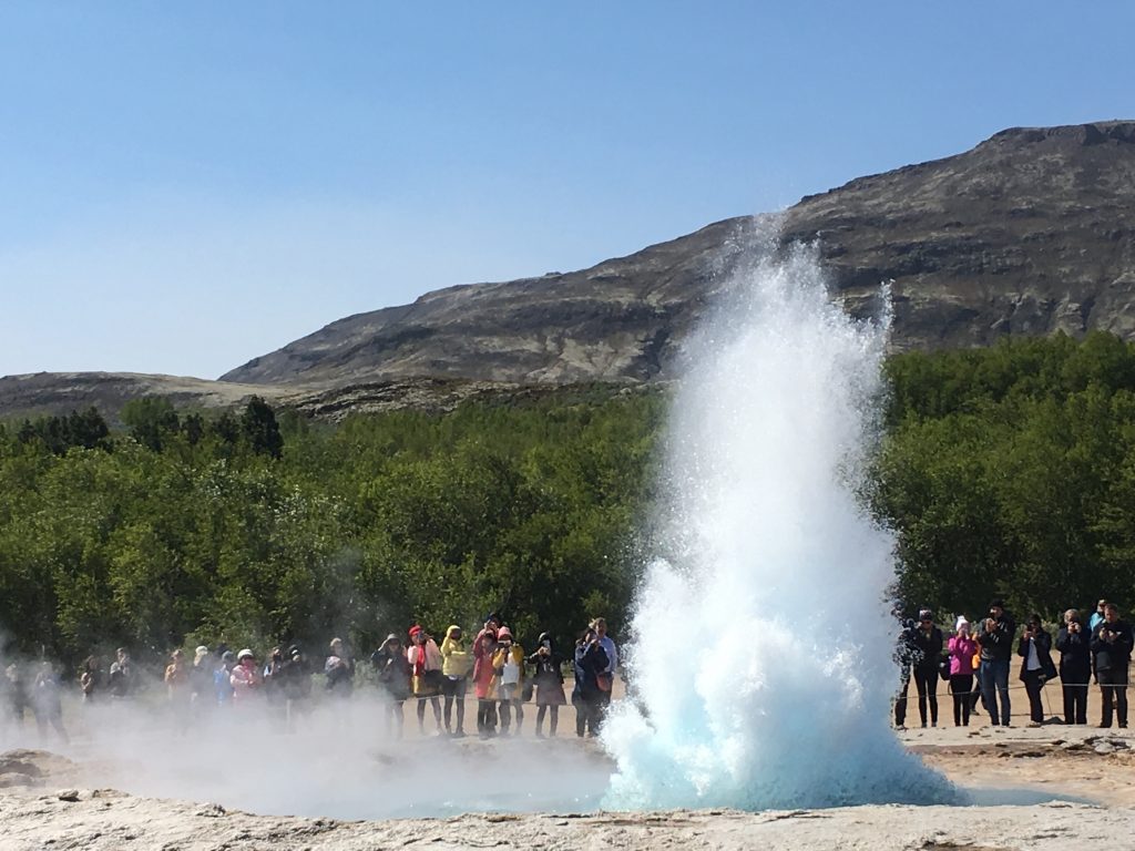
A short time later we find ourselves on the country road again. We go to the geyser. We reach it after a short time, park our motorcycles and enter the geothermal area. Everywhere there is steam and bubbling water, from time to time we hear the hissing of the geyser. After a few minutes, we join the spectators and wait for the explosion of the next geyser. The boiling water shoots up into the sky for a moment, then the 15-meter high water stream collapses again and the spray is driven away by the wind. We wait several cycles long to take photos and a film. This becomes a game of patience but finally we succeed and leave the place.
Now we are on our way to the Icelandic national sanctuary, the park of Thingvellir. Here the American and the European continental plate meet and they create a wonderful, impressive landscape. The canyon runs across the park and separates the continents. The Icelanders have met here for the “Thing”, a kind of country community gathering that makes decisions about the future of their country and elects its judges and councils. Today Icelanders and tourists come because of the beautiful landscape. We find a simple campsite and in the shop, we can even have a small snack.
The next part of Ambassador Andreas’ trip will soon be published on the RISER Journal. In the meantime, you can check out his other routes on his RISER profile. If you like his trips, follow him on RISER and stay Up-To-Date ?.
Ambassador Andreas’ RISER Profil: