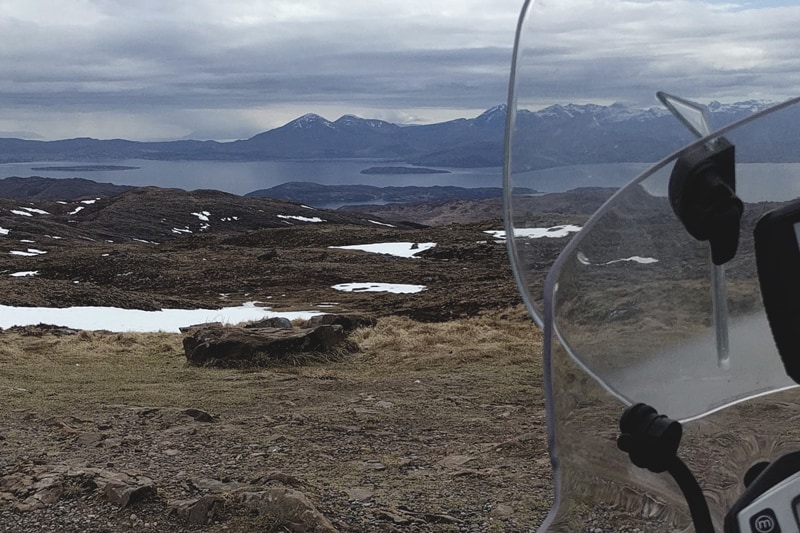
For anyone who doesn’t know, the North Coast 500 is a circular route circumnavigating mostly coastal roads around the northern tip of the Scottish Highlands. It is generally accepted that the start point is Inverness, and from there what awaits you is just over 800 kilometers of sweeping bends, single track back whacks and what is arguably the most incredible scenery in the UK… plus the formidable Bealach Na Ba, also known as ‘Applecross Pass’…. But more on that later. Completing the trip with me was Ryan, a friend of many years and my wingman for the Cambodia trip that featured in my previous blog post.
Before you set off on the NC500 you have 2 important decisions to make: firstly ‘How many days do I intend to spend riding the NC500?’, and secondly ‘Clockwise, or anti-clockwise?’ Ryan and I had decided that we would complete the route Clockwise. I would love to tell you that this was based on lots of research and that we had some really strong reasons why clockwise was the way to go…. But in reality I think we are both a little OCD, and clockwise just seemed to make more sense.
Our trip was to be a relatively short one for the mileage involved (6 days, Sun – Fri), due to work commitments and me having to be back in Sheffield for a wedding. On Sun 8th April we set off from Ryan’s near Preston and the adventure was under way. Ryan on his now repaired Triumph Tiger 800xcx, and me on my 2008 BMW GS Adventure. We were supposed to be rolling for 6:30am, but as per usual it was nearer to 7am by the time we had finished falling out with the Garmin Sat Nav’s, and our cheap ebay intercoms. Thankfully we did remember to hit ‘Go’ on the RISER App.
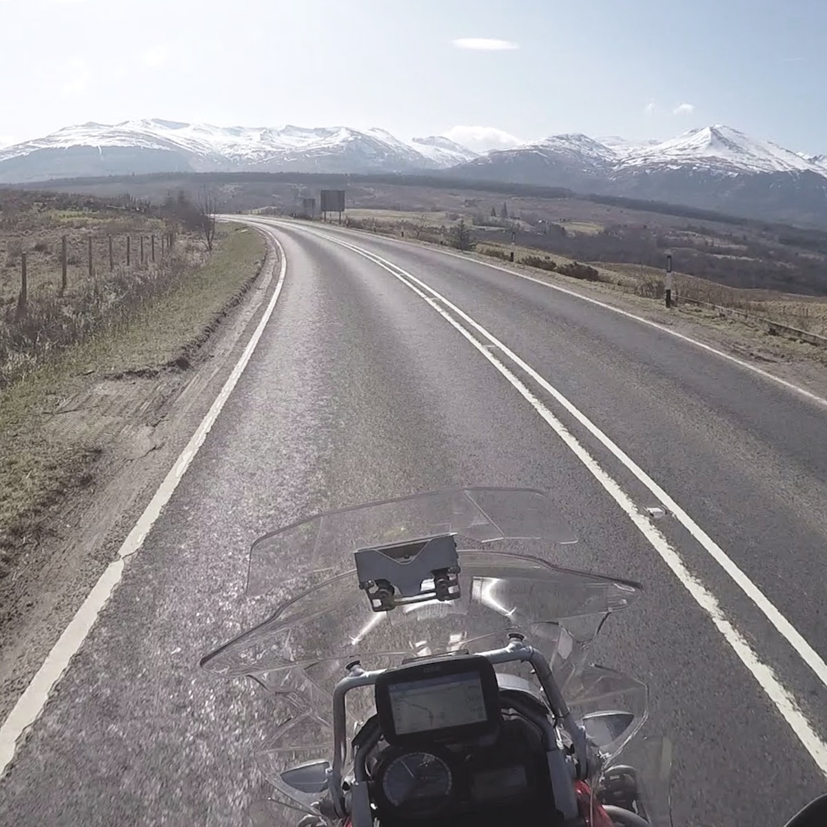
The first part of the day was a motorway slog, just to chew up some mileage and get us North. We were able to make good progress on the M6 and crossed the border into Scotland after just over 90 minutes of riding. Rather than taking the most direct route up to Inverness, we had decided to skirt round Glasgow and then head along the A82 taking in Loch Lomond and the Trossachs National Park, climbing up and over Glencoe and through Fort William. We would then take in a bit of monster spotting along the banks of Loch Ness before finally arriving in Inverness. This route up was Ryan’s suggestion, having spent his student years climbing and camping near to Glencoe he assured me it would be worth the additional mileage … Don’t tell him I said this, but he was definitely right!!
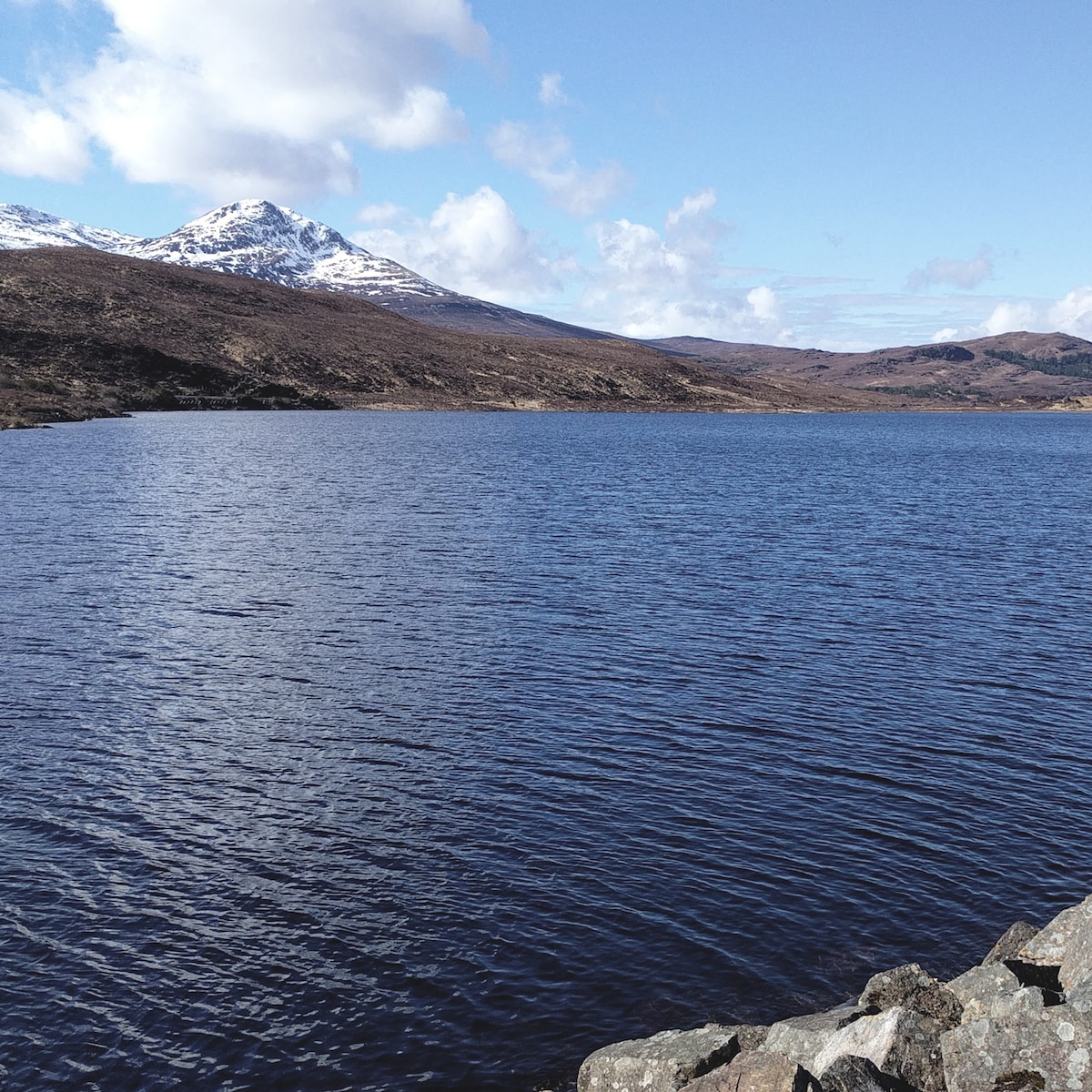
The A82 through the Trossachs was a pleasure to ride. Wonderful views of Loch Lomond with some brilliant bends to lean the bike through (as much as you can lean 2 heavily laden adventure bikes). In fact the A82 is like a gift that keeps on giving, having left Loch Lomond we then climbed up and over Glencoe. There was still snow on the tops and the views were truly stunning. We travelled through Fort William and then, failing to spot the Loch Ness monster, we made the final push to Inverness. According to Riser, our moving time was 6hrs 29mins and we had ridden 590 km. We had also climbed over 2,620 m.
I feel it important to mention at this point that Police Scotland’s Speed Enforcement Camera vans are prolific, and will be all over anyone who enjoys a bit too much throttle action like moths round a light bulb! If you think I’m joking, let me assure you we saw numerous camera van’s while riding up to Inverness, and I have already felt their venom this year having picked up my first ever Fine (£100) and 3 Penalty points in February, driving back home from a family holiday in Scotland along the A74(M).
NC500 Day 1 – Inverness to Ullapool
We stayed in a small B & B in Inverness overnight, and the next morning we were up early ready to tackle Applecross Pass. Bealach Na Ba is a very narrow single track road with passing points. It climbs sharply on one side to the viewing point at the top, with a slightly shallower decent back down into Applecross itself. I think it’s fair to say we both headed up onto the pass with some trepidation, mainly due to the 3 incredibly tight, cambered hair pin switchbacks as you travel up to the viewing point. Thankfully we got to the top and the halfway point without any major dramas. The key is to look well ahead and plan your ride so that you can be considerate in using the passing points effectively. Which brings me onto another point … parking in passing points. I was at a total loss to find people parked up in the passing points to take photos. I’d read a little about it on Social media, but thought it must be the exception, not the norm. I was wrong.
The view from the top of the pass is fantastic, and I must confess that we were both glad to have made it up without laying one of the bikes down on the switchbacks. We grabbed some photos and then descended into Applecross where we used the Community funded self-serve petrol pump, before pushing on along miles and miles of single track ‘twisties’ to arrive at our first overnight stop on the NC500 in Ullapool. We’d done 330 kilometers and spent 5hrs 12 mins on the move.
NC500 Day 2 – Ullapool to Wick
We set off from Ullapool with the wind blowing so strongly, that I was surprised that the bikes still had covers on, when we went out to them. Luckily, the weather started to clear fairly quickly as we rode past Loch Assynt with a quick stop at Ardvreck Castle ruins. From here on, the sun came out, and it seemed the further we pushed up the Scottish West Coast, the more incredible the scenery became.
Prior to Lichinver, we made a right turn onto the B869, which I think was probably one of my favourite roads of the trip, I know it was definitely Ryan’s. Miles and miles of narrow single track roads, with elevation and descent, the road constantly opening up to give a view of the stunning coast before diving or turning away, only to then give you another glimpse of paradise. It probably helped that we had clear blue skies and glorious sunshine all the way to our morning brew stop at Clachtoll Beach. Admiring the wonderful golden sands and crystal clear water, Ryan aptly pointed out we could have been in the Seychelles, not the UK. We even saw Highland cattle here making their way down to the water’s edge, what a fantastic place for a camping stove powered cup of coffee. From here we continued around and onto the North Coast, grabbing lunch at Durness.
In the planning for this trip, I thought the second day would be the quickest riding wise, I don’t know where I got this from, as I couldn’t have been more wrong. We intended to visit Smoo Cave just after lunch, but with the clock against us we bypassed it to get to Dunnett Head, the most northerly point of mainland Great Britain, and also to John O’Groats. I think it was around this time on Day 2, that it really rung home that we were trying to complete the NC500 too quickly. 3 days to do the whole route is easily doable, but it limits opportunities to stop, chill, and enjoy the scenery. If I am fortunate enough to ride the NC500 again, it will be over a minimum of 4 days, ideally longer. I would also take some camping gear as there are thousands of wild camping spots to enjoy, as long as you are considerate. I wonder if on Day 2 we somehow angered the weather gods by skipping Smoo Cave, as before we got to Dunnett head, the weather changed dramatically. Thick cloud rolled in, the temperature dropped enough to see us swap to winter gloves and put jacket liners in, and then the inevitable happened, we started to get wet … very, very wet.
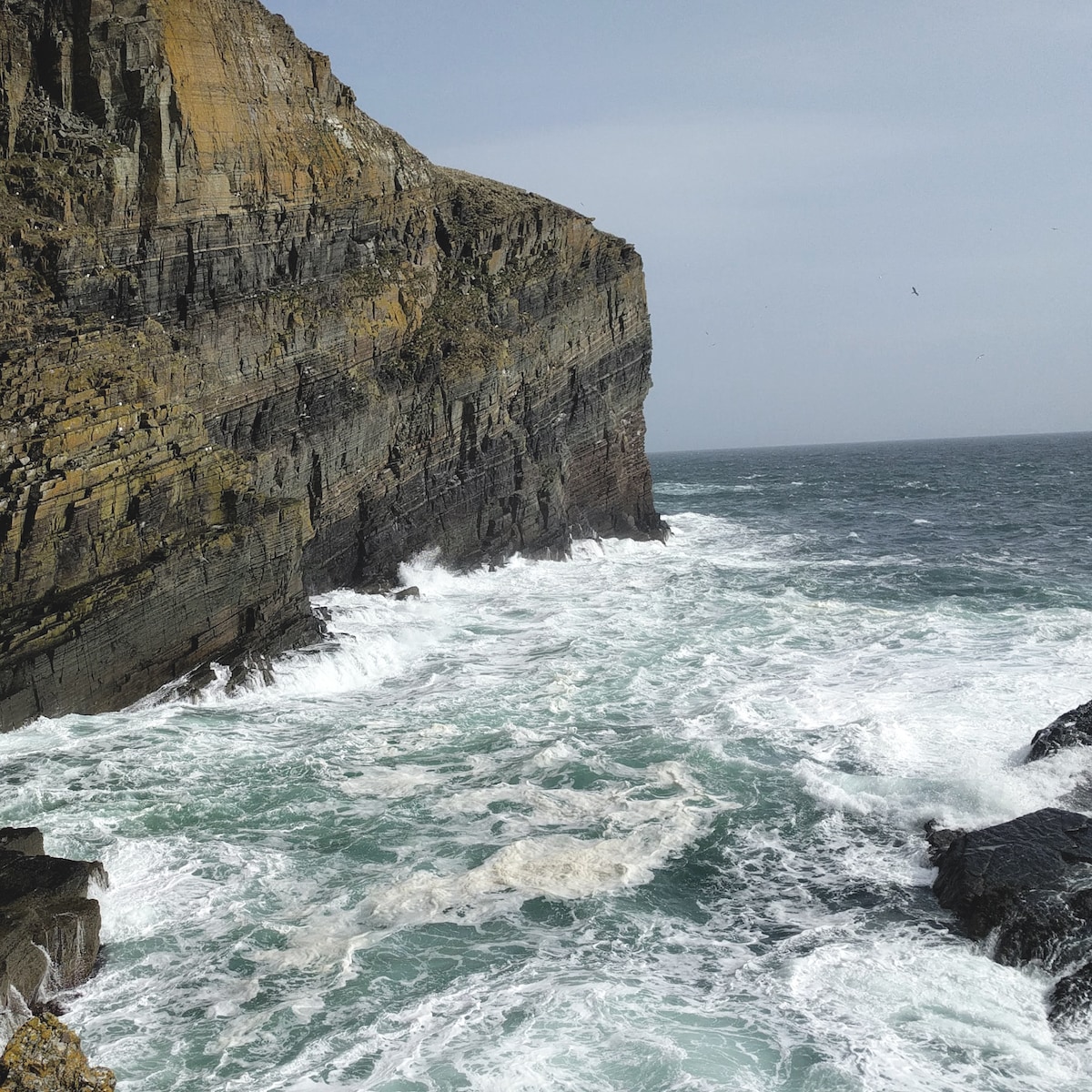
We still called at the light house at Dunnett Head, which offers amazing cliff top views, and then were surprised to arrive at a deserted John O’Groats (I suspect the weather may have played a part in this though….) We grabbed the obligatory photos at the ‘Journeys End’ signpost, which marks the greatest mainland UK distance between John O’Groats and Lands End in Cornwall (1409 kilometers) … and then pushed on through the rain to Wick.
On day 2 we were on the move 5hrs 46 mins, travelled 345 kilometers but only averaged 59.0 kmh, which is an indication to anyone of how narrow and meandering the roads were. Ryan and I discussed it at length, and if we’d had one more night, we would have split this day in two, and probably wild camped near to Durness.
NC500 Day 3 – Wick to Inverness
Day 3 saw a noticeable change in the scenery, the views of the snow – capped peaks had faded behind us as we rode along the North coast the previous evening. I believe this is why some people prefer to go anti-clockwise, as it could be argued that in doing so the landscape becomes more dramatic the further you ride. That said, looking back on the trip, I’m glad we went clockwise. After a lot of single track winding lanes, for me it was a pleasure to get back on the quicker roads with lovely sweeping bends inviting you to test your cornering skills, leaning the bike one way, then the other.
I was having so much fun on Day 3 that I managed to ride 10 kilometers passed our first planned stop for the day, Whaligoe Steps (Whoops!). Whaligoe is well worth a look and means ‘Inlet of The Whale’, and was so named due to the frequency with which dead whales used to wash up in the inlet. The descent down originally comprised of 365 steps and they enable you to negotiate what would otherwise be an almost 75m drop down the cliff face to ‘The Bink’ where a fishing station once operated. The steps aren’t for the feint hearted, especially when it comes to getting back to the top. Having enjoyed the views, and deposited a couple of quid in the donations box we met Davey, a local resident and caretaker of the steps. He knows their whole history, has a wicked sense of humour and some funny tales. If you have the time I’d say hello, he will have you laughing I promise.
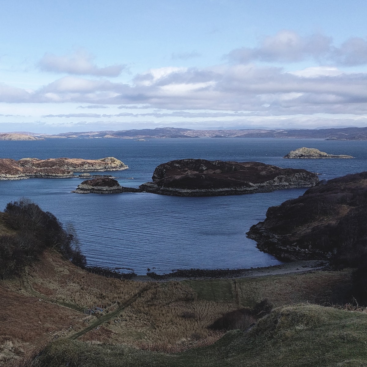
Back on the bikes, I got to enjoy round two of tackling the same bends we’d ridden once already thanks to my navigational blunder. We then made for Loch Fleet and enjoyed a spot of lunch watching the seals snoozing on a nearby sand bank. The roads leant themselves to making quicker progress on day 3, and although we were no longer in the company of snow-capped giants, there was still some fantastic coastland to enjoy. On day 3 we made our only significant deviation from the NC500 route, heading over Cromarty Bridge and then tracking East via Cromarty lighthouse, to Channonry Point. I had been looking forward to visiting Channonry Point from the get go, mainly as a colleague had told me about the frequency with which dolphins are sighted here. Typically we didn’t see any, but it was still well worth a visit as we enjoyed a brew while watching the sun begin to set, and it gave us time to contemplate the trip. From there it was a relatively short ride back to Inverness, and that was it, the NC500 done in 3 days (1 day too quickly for my liking).
Day 3 totalled 240 kilometers with 3hrs 49 mins on the move.
We were very lucky for our trip, with the weather mostly being pretty kind. In particular we came back south along the A82 with 16°C weather and glorious sunshine. Although the A82 doesn’t make up the NC500 route, it was probably one of my favourite parts of the trip. If you are heading to North Scotland on a bike, in a car or even a motorhome don’t miss it out, it’s epic. Our overall distance for the 5 ½ days was approx. 1,310 kilometers, and we logged the whole route using the RISER app. The NC500 has been referred to as Scotland’s answer to Route 66. I haven’t ridden that yet (it’s on my list), but what I will say is make sure the NC500 is on your motorbike trip bucket list, you certainly won’t be disappointed!
PHOTOS
LINKS
RISER – Driven by Adventure
RISER fürs iPhone
RISER für Android


